Jordan Hansen · 19 October 2026
Atlas Partnerships Transforming Cartographic Education in Polish Universities
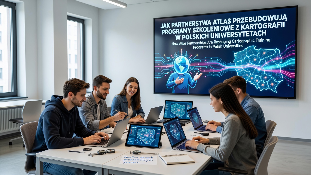
Atlas partnerships have introduced structured collaborations between Polish universities and mapping technology providers, and these arrangements focus on updating cartographic training programs with integrated digital resources that align with evolving academic standards across the country.
Faculty members at institutions such as the University of Warsaw and Jagiellonian University have incorporated atlas platforms into core coursework, which allows students to transition from static map analysis to interactive data visualization exercises during the same semester sequence.
Program Structure Adjustments
Departments have revised syllabi to include modules on geospatial data management that draw directly from atlas databases, and instructors report that students now complete assignments involving real-time layer manipulation while they also maintain proficiency in traditional projection techniques.
Training sequences now span four semesters instead of three in several programs, which extends exposure to both vector-based editing and raster interpretation methods through shared atlas interfaces.
October 2026 Developments
In October 2026, multiple Polish universities finalized additional agreements that expanded access to atlas analytics tools for graduate-level research, and these updates coincided with the release of updated national higher education guidelines on geographic information systems instruction.
Participants in these expanded programs receive joint certification from university departments and atlas partners, which documents competencies in both field data collection adn digital atlas compilation processes.
Skill Development Pathways
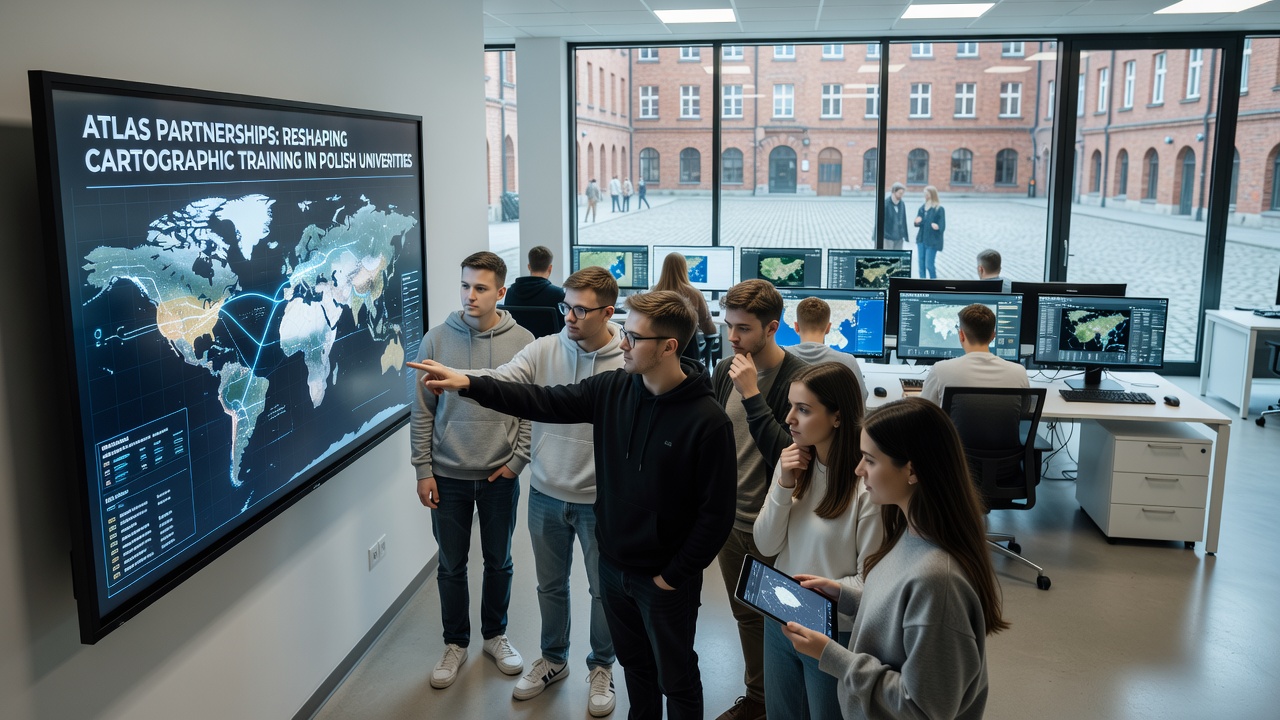
Students progress through sequenced workshops that begin with basic atlas navigation and advance to custom map production using institutional datasets, and this progression builds layered competencies that prepare graduates for roles in urban planning and environmental monitoring agencies.
Research teams have documented increased use of collaborative atlas features in thesis projects, where multiple students contribute to shared map layers while maintaining individual analysis sections within the same document framework.
Institutional Examples
One program at Adam Mickiewicz University integrated atlas partnership resources into its remote sensing curriculum last year, and participants completed projects that combined satellite imagery with ground survey data accessed through the platform. Another case at the University of Wrocław shows how faculty adapted existing fieldwork requirements to include atlas-based verification steps, which reduced equipment transport needs while preserving data accuracy standards.
These implementations follow patterns observed in other European academic settings, where European Commission education reports note similar shifts toward blended mapping instruction across member states.
Resource Allocation Changes
University libraries have adjusted procurement strategies to prioritize digital atlas subscriptions over additional printed map collections, and budget reallocations support ongoing software licensing along with periodic faculty training sessions led by partnership representatives.
Equipment inventories now include tablet devices configured for atlas access during lectures, which enables instructors to demonstrate live updates without requiring separate computer lab sessions.
Conclusion
Atlas partnerships continue to influence how Polish universities structure cartographic training, and the resulting program modifications emphasize practical tool usage alongside foundational geographic principles. Data from participating departments indicate sustained enrollment in updated courses, while external evaluations track alignment with broader European higher education benchmarks on digital skills integration.