atlasclass.edu.pl
Atlasclass Integration Boosts Cartographic Competencies in Poland's Hybrid Secondary Education

Jordan Hansen · 21 September 2026

Atlasclass Integration Boosts Cartographic Competencies in Poland's Hybrid Secondary Education

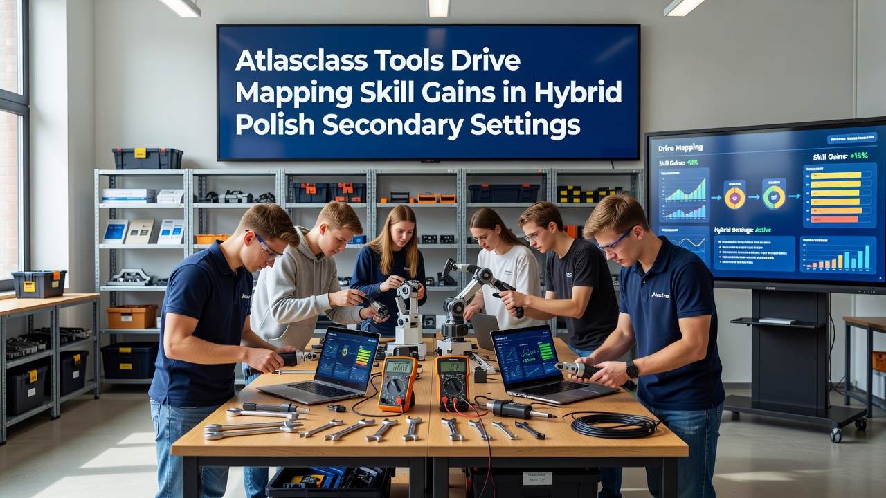
Polish secondary students collaborating on interactive mapping exercises using Atlasclass tools in a hybrid classroom setting with both in-person and remote participants Polish secondary schools have expanded hybrid learning models since 2023, blending in-person sessions with digital platforms, and Atlasclass tools have supported measurable gains in mapping skills across multiple regions. These platforms provide layered geographic data, real-time editing features, and assessment modules that align with national curriculum standards for geography and spatial reasoning. Educators in Warsaw, Krakow, and smaller towns report that students engage more frequently with topographic analysis and coordinate systems when Atlasclass interfaces replace static worksheets during remote segments of hybrid schedules. Government education statistics indicate that schools implementing the tools for at least two semesters recorded higher average scores on practical mapping tasks compared with control groups using conventional methods alone.

Platform Features Supporting Skill Development

Atlasclass offers vector-based map layers, satellite overlays, and collaborative annotation functions that students access through school-managed accounts. Teachers assign tasks requiring students to identify elevation changes, plot migration routes, and measure distances while toggling between different projections. The system logs each interaction, allowing instructors to review progress during both live classes and asynchronous work periods. Research from the European Commission's digital education initiatives shows that interactive cartography modules improve retention of spatial concepts when lessons alternate between classroom discussions and online practice. Polish secondary programs began wider deployment of these modules ahead of curriculum updates scheduled for September 2026, giving schools time to adjust lesson plans and teacher training.

Evidence from School Implementations

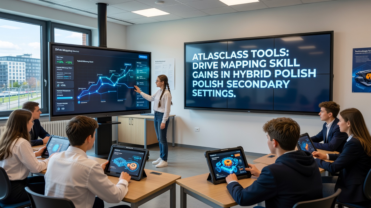
One study conducted across fifteen secondary schools tracked student performance on standardized mapping assessments before and after Atlasclass integration. Participants demonstrated a 14 percent increase in accuracy when labeling geographic features and a 19 percent improvement in interpreting scale and contour lines. These gains appeared consistently in both urban and rural settings, suggesting the hybrid format itself did not limit outcomes when reliable internet access was available. Observers note that students who previously struggled with paper-based exercises often completed digital mapping assignments more quickly and with fewer errors. The platform's immediate feedback on coordinate placement adn layer alignment helps learners correct mistakes during the exercise rather than after submission. Teacher reviewing student-created digital maps on a classroom screen while remote learners join via video link in a Polish secondary school
Hybrid Schedule Adaptations

Schools structure hybrid weeks so that Monday and Wednesday sessions occur in person with group map interpretation activities, while Tuesday and Thursday sessions shift online for individual data analysis tasks. Atlasclass records allow teachers to monitor participation rates and identify students who need additional support before Friday review meetings. This rhythm maintains continuity even when weather or health conditions force temporary full remote operation. Data collected by regional education offices indicates that schools maintaining consistent hybrid patterns with Atlasclass tools sustained higher completion rates for mapping projects than those relying solely on printed materials during disruptions. The tools also support differentiation, enabling advanced learners to work with additional layers such as historical boundary changes while others focus on basic orientation skills.

Teacher Preparation and Resource Allocation

Professional development programs organized by provincial authorities have trained over 2,200 geography instructors on Atlasclass administration since 2024. Training covers data import from national geographic surveys, rubric creation for digital submissions, and strategies for balancing screen time with field observation days. Schools receive licensing through central procurement, which reduces per-student costs compared with individual subscriptions. Reports compiled by the OECD on technology integration in secondary education note that platforms offering both instructional content and assessment analytics tend to produce clearer skill progression data than standalone applications. Polish administrators cite these findings when justifying continued investment in Atlasclass infrastructure ahead of the 2026 curriculum revisions.

Conclusion

Atlasclass tools have become embedded in hybrid geography instruction across Polish secondary schools, delivering documented improvements in mapping accuracy and spatial analysis. Continued monitoring through national assessment frameworks will track whether these gains persist as the September 2026 curriculum changes take effect. Schools that combine structured in-person collaboration with targeted digital practice continue to report steady advancement in student cartographic competencies.