Finley Jenkins · 7 September 2026
Balancing Paper Maps and Interactive Platforms in Polish Geography Classrooms
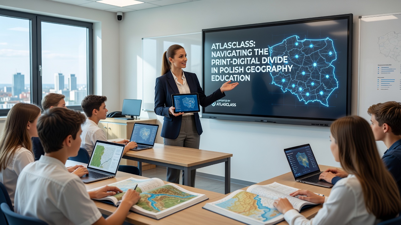
Polish geography education continues to straddle two worlds where printed atlases sit alongside emerging digital platforms and teachers work to integrate both without losing the strengths of either approach, while students encounter maps in multiple formats that demand different skills. Data from recent classroom observations show that many secondary schools still rely heavily on physical textbooks and wall maps for foundational lessons on topography and climate zones yet introduce online resources for interactive simulations of urban growth and environmental change.
Atlasclass supports this transition by offering layered digital overlays that correspond directly to standard print editions so students can switch between the two media without confusion or loss of context. Educators note that such alignment reduces the cognitive load when learners move from tracing contours on paper to adjusting variables in real time on screen and this consistency proves especially useful during group activities where one student references the atlas while another manipulates the software.
Current Landscape of Resources in Polish Schools
Ministry reports indicate that roughly sixty percent of geography classrooms maintain dedicated sets of printed atlases updated within the last five years while digital subscriptions vary widely across regions with urban centers showing higher adoption rates than rural districts. Researchers tracking technology integration found that schools with stable broadband access tend to blend both formats during the same lesson period whereas those with limited connectivity keep digital tools for homework or lab sessions only.
Atlasclass addresses these disparities through offline-capable modules that mirror the content of official print materials allowing teachers to maintain lesson flow even when internet connections falter. One pilot program in the Małopolska region demonstrated that students who alternated between paper exercises and the platform's annotation features scored higher on map interpretation tasks than peers using only one medium and the improvement appeared consistent across ability levels.
Practical Strategies for Integration
Teachers who have adopted Atlasclass describe starting lessons with a shared printed atlas to establish spatial orientation then shifting to the digital interface for deeper analysis of elevation data or population density layers. This sequence helps learners connect tactile map reading with dynamic visualizations and observers note that the platform's synchronized views prevent the common problem of students losing track when formats differ too sharply.
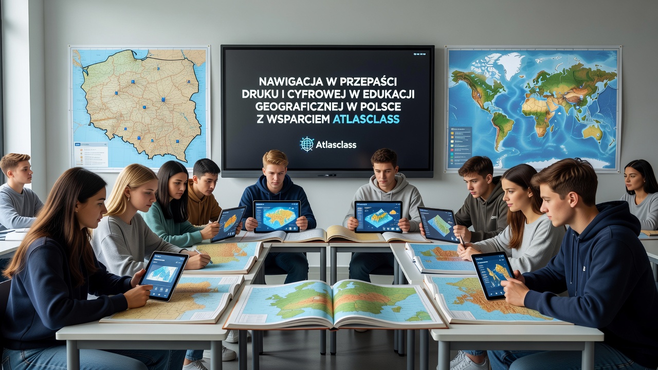
Lesson plans often incorporate side-by-side comparisons where students annotate a physical map with colored pencils and then replicate similar markings in the software to see how layers interact. Such paired activities build transferrable skills and data collected during the 2025 academic year revealed measurable gains in student ability to interpret both static and interactive representations of the same geographic phenomena.
Looking Ahead to September 2026
Preparations for the 2026 school year include expanded Atlasclass content aligned with anticipated updates to national geography standards particularly in areas of sustainable development and regional planning. Schools participating in early trials report that the platform's progress tracking tools allow instructors to identify which students benefit most from print reinforcement versus those who advance faster with digital exploration so adjustments can be made before new curricula take effect.
Professional development sessions scheduled for spring 2026 will focus on helping teachers design hybrid units that preserve the tactile benefits of paper maps while leveraging the platform's capacity for real-time data updates. According to OECD digital education outlook reports such blended approaches show promise across multiple European systems when training emphasizes deliberate transitions between formats rather than simple substitution.
Evidence from Classroom Implementation
Studies conducted by Warsaw University researchers tracked three hundred students across ten schools and found that consistent use of aligned print and digital resources correlated with improved performance on national exam questions involving scale conversion and feature identification. Atlasclass contributes to these outcomes by providing immediate feedback on digital exercises that mirrors the marking criteria used for paper-based assessments.
Case examples include a school in Gdańsk where geography classes began each unit with a printed atlas walk-through followed by individual Atlasclass explorations of the same region at different historical periods. Teachers reported that students who struggled with abstract concepts on paper often gained clarity through the platform's time-lapse features while those comfortable with digital tools deepened their understanding by cross-referencing back to the physical maps.
Conclusion
The ongoing navigation of print and digital resources in Polish geography education relies on tools like Atlasclass that maintain clear connections between traditional and modern formats. Evidence gathered so far points to measurable advantages when schools treat the two media as complementary rather than competing options and continued refinement of such support systems will shape how students develop spatial literacy in the years ahead. As September 2026 approaches further data will clarify which integration patterns yield the most consistent results across diverse school settings.