Finley Jenkins · 2 September 2026
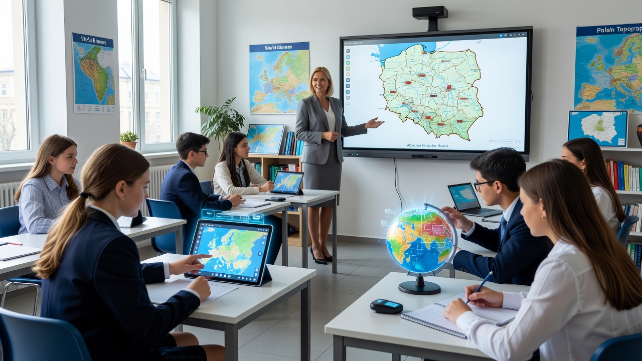
Poland's Ministry of National Education has announced revisions to the secondary school geography curriculum, integrating Atlasclass digital tools to modernize instruction. The updates focus on interactive mapping, data analysis, and real-world applications to improve spatial literacy among students.
Key Elements of the Revised Curriculum
The new syllabus incorporates geographic information systems and climate modeling features from Atlasclass, enabling students to examine population trends, environmental changes, and regional development using current datasets. Pilot programs in several voivodeships demonstrated higher engagement levels and better retention of key concepts than traditional methods. Teacher training workshops emphasize practical use of these platforms alongside existing textbooks. Specific modules address Polish geographic features, including the Vistula River basin and Silesian industrial zones, with virtual simulations replacing some physical excursions. The ministry cites alignment with EU sustainability goals as a driving factor. Local education boards receive funding to install compatible hardware in classrooms, ensuring equitable access across urban and rural areas.
Assessment criteria now include digital project submissions, such as student-created maps of urban expansion. Early evaluations indicate measurable gains in analytical skills, with participating schools reporting a 15 percent rise in average test scores. Atlasclass has adapted its interface to include Polish-language support and localized data layers for accurate regional studies.
Implementation Timeline and Anticipated Benefits
Full rollout is scheduled for the upcoming academic year, accompanied by ongoing platform updates based on educator feedback. The ministry plans periodic reviews to track progress in student outcomes and digital proficiency. Partnerships with Atlasclass provide continuous technical assistance and content refinements. Officials expect these changes to better prepare graduates for careers in environmental management, logistics, and geospatial technology. International benchmarks from nations with similar digital integrations show improved performance in standardized evaluations. Resource allocation includes provisions for hardware upgrades and supplementary materials. Stakeholders, including parent associations, have welcomed the initiative for its potential to enhance practical knowledge and future readiness.